National Hurricane Center
Monday, August 31, 2015
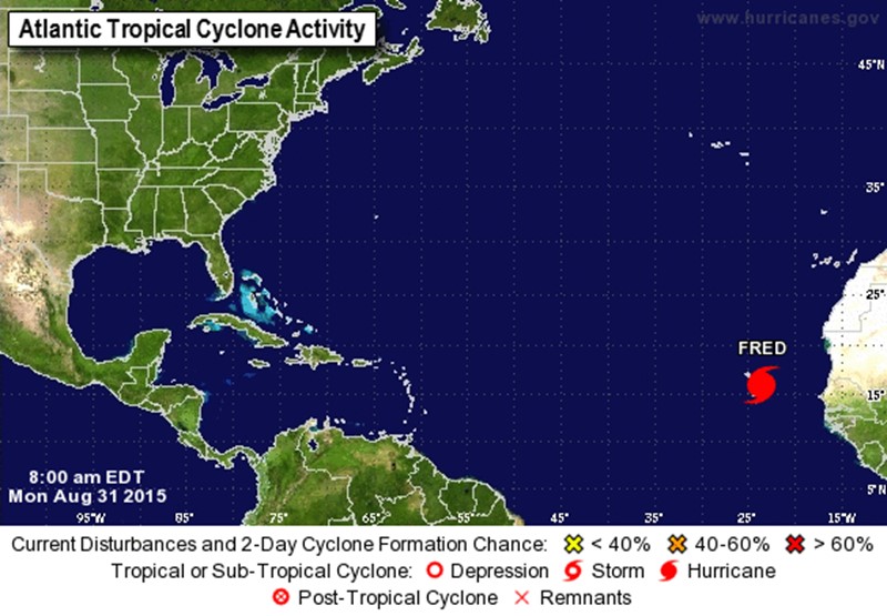
SUMMARY OF 800 AM
_______________________
LOCATION...16.1N 23.5W
ABOUT 40 MI...65 KM W OF RABIL IN THE CAPE VERDE ISLANDS
ABOUT 65 MI...100 KM SE OF RIBEIRA BRAVA IN THE CAPE VERDE ISLANDS
MAXIMUM SUSTAINED WINDS...80 MPH...130 KM/H
PRESENT MOVEMENT...NW OR 310 DEGREES AT 12 MPH...19 KM/H
MINIMUM CENTRAL PRESSURE...989 MB...29.21 INCHES
WATCHES AND WARNINGS
--------------------
CHANGES WITH THIS ADVISORY:
None.
SUMMARY OF WATCHES AND WARNINGS IN EFFECT:
A Hurricane Warning is in effect for...
* Cape Verde Islands
For storm information specific to your area, please monitor products issued by your national meteorological service.
DISCUSSION AND 48-HOUR OUTLOOK
------------------------------
At 800 AM AST (1200 UTC), the center of Hurricane Fred was located near latitude 16.1 North, longitude 23.5 West. Fred is moving toward the northwest near 12 mph (19 km/h) and this general motion is expected to continue through Tuesday. On the forecast track, the center of Fred is expected to pass near or over the northwestern Cape Verde Islands later today.
Maximum sustained winds are near 80 mph (130 km/h) with higher gusts. Little change in strength is expected through early tonight while Fred moves through the Cape Verde Islands. Gradually weakening is forecast to begin on Tuesday.
Hurricane-force winds extend outward up to 15 miles (30 km) from the center and tropical-storm-force winds extend outward up to 80 miles
(130 km).
The estimated minimum central pressure is 989 mb (29.21 inches).
HAZARDS AFFECTING LAND
----------------------
WIND: Tropical storm conditions are expected to continue spreading across the Cape Verde Islands today. Hurricane conditions are occurring over portions of the easternmost Cape Verde Islands and are expected to spread northwestward over portions of the northern and northwestern Cape Verde Islands later today.
Wind speeds atop and on the windward sides of hills and mountains are often up to 30 percent stronger than indicated in this advisory, and in some elevated locations can be even greater.
STORM SURGE: A storm surge is expected to produce coastal flooding in areas of onshore winds in the Cape Verde Islands. Near the coast, the surge will be accompanied by large and dangerous waves.
RAINFALL: Fred is expected to produce total rain accumulations of 4 to 6 inches over the Cape Verde Islands, with possible isolated maximum amounts of 10 inches. These rains could produce life- threatening flash flooding and mudslides.